Culhwch is a significant figure in Welsh mythology, particularly known as the protagonist of “Culhwch and Olwen,” one of the medieval Welsh tales that form part of the Mabinogion. This story, which is among the earliest Welsh prose literature, also connects him to the legendary King Arthur, as he is depicted as Arthur’s cousin.
The name “Culhwch” is unique and its etymology is explained within the tale itself, though it’s suggested to be folk etymology. The name is interpreted as “sow run” (from Welsh “cul,” meaning “narrow” or “a narrow thing,” and “hwch,” meaning “sow” or “pig”). This interpretation ties into the circumstances of his birth. According to the story, his mother Goleuddydd becomes mad after being frightened by a herd of swine, leading to Culhwch’s birth in an unusual and dramatic context. He is found in a pig’s run by a swineherd who then brings him to his father, Cilydd.
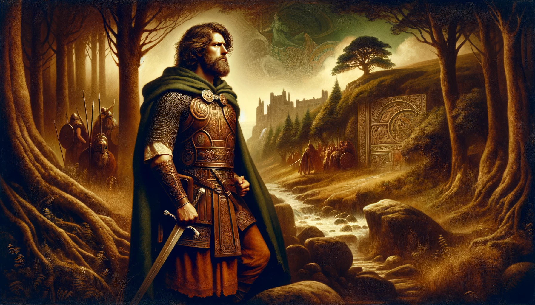
Culhwch is described as being of noble birth, or “of gentle lineage.” His story is notable for the quests and adventures he undertakes, especially his pursuit to win the hand of Olwen, a chief’s daughter guarded by her giant father, Ysbaddaden. Culhwch’s tale is rich in elements of Celtic mythology and Arthurian legend, featuring tasks, challenges, and the assistance of King Arthur and his knights. This story, like many in the Mabinogion, blends heroism, romance, and magical elements, offering a window into medieval Welsh culture and storytelling.
In Culhwch and Olwen
The tale of Culhwch and Olwen, a foundational story in Welsh mythology, is a remarkable blend of romance, adventure, and myth. It begins with Culhwch, the son of King Cilydd and Goleuddydd, facing a life-altering curse from his stepmother. This curse dictates that Culhwch can marry only Olwen, the daughter of the giant Ysbaddaden, whom Culhwch has never met but becomes deeply infatuated with.
Culhwch’s quest to find and win Olwen begins with seeking the help of his cousin, the legendary King Arthur. Arthur, ruling from his court in Celliwig, Cornwall, agrees to aid Culhwch and sends six warriors to assist him. Their adventure leads them to the castle of Ysbaddaden, through a meeting with Ysbaddaden’s brother, Custennin, who has suffered greatly at the hands of the giant.
The story escalates as Culhwch and his companions, including the renowned warriors Cai and Bedwyr, as well as the enchanter Menw, launch a stealth attack on Ysbaddaden’s castle. In a dramatic encounter, they manage to outwit and wound Ysbaddaden, who finally agrees to grant Culhwch his daughter’s hand in marriage, but only if Culhwch can complete a series of seemingly impossible tasks (anoethau).
These tasks, including the perilous hunt for Twrch Trwyth and the rescue of Mabon ap Modron, set the stage for a grand mythological adventure. Culhwch, aided by Arthur and his knights, bravely undertakes these challenges, displaying heroism and determination.
Ultimately, with the tasks fulfilled, Culhwch, Goreu (Custennin’s son), and others return to confront Ysbaddaden. In a final act of retribution and justice, Ysbaddaden is humiliated and beheaded by Goreu, avenging the wrongs done to his family. Olwen is now free to marry Culhwch, ending the story with their union.
“Culhwch and Olwen” is not only a tale of heroism and romance but also encapsulates the essence of Celtic mythology’s complexity, its interplay of magical elements, and the rich tapestry of characters that populate these ancient stories. It remains a pivotal piece of Welsh literature, illustrating the cultural and mythological heritage of Wales.